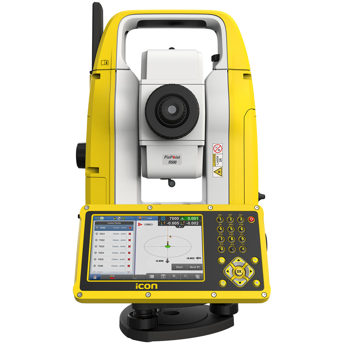
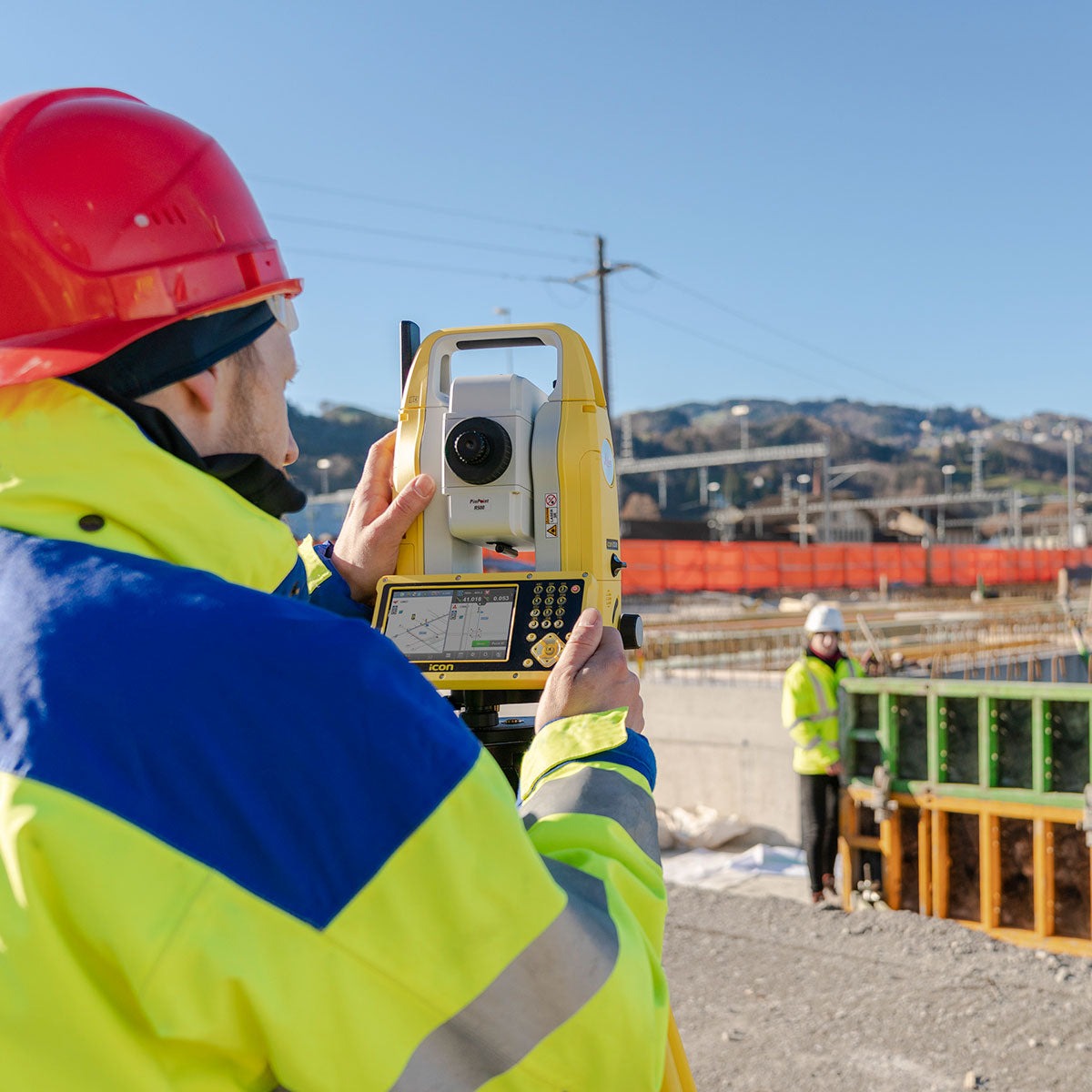
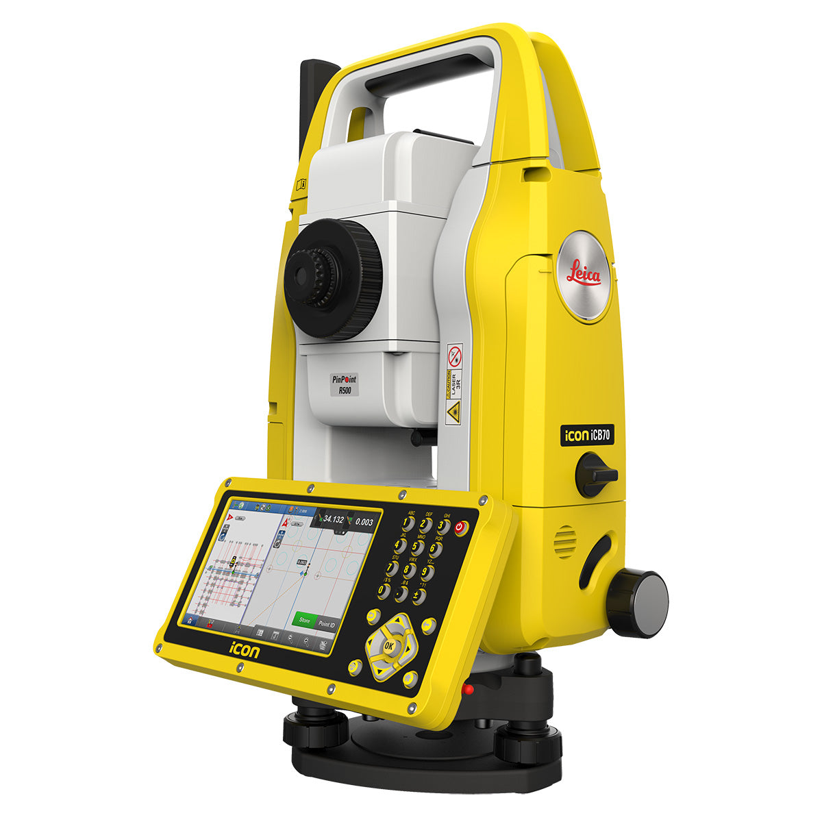
Leica iCON iCB70 Manual Construction Total Station
Leica iCON iCB70 Manual Construction Total Station is backordered and will ship as soon as it is back in stock.
Couldn't load pickup availability
Hire
Hire
Many of our products are also available to hire.
Hiring comes with a number of benefits including:
- Easy access to the latest technology
- Reduced costs
- Short or long-term contracts
- Fast delivery and collection
Free UK Delivery *
Free UK Delivery *
We offer free delivery throughout the UK on all orders over £350.
Key information:
- We deliver to the UK Mainland only (i.e. England, Scotland & Wales).
- We will normally send your order to you the next working day for stock items.
- We dispatch orders Monday to Friday (excluding UK public holidays).
Price Match Promise
Price Match Promise
Our Price Match Promise is that, should you find any item cheaper elsewhere, we will aim to match or beat that price.
Finance Options Available
Finance Options Available
Subject to status, we are now able to offer Hire Purchase and Finance Lease on a whole range of equipment.
Leica iCON iCB50 / ICB70 Data Sheet
The Leica iCON iCB70 manual construction total station makes you layout more points per day on your construction project with either prism or reflectorless measurements.
Featuring mobile data capability, the iCB70 lets you transfer construction data between the office and the instrument directly, keeping your project progress and plans constantly up to date, assuring that you do not miss any changes in design.
Facilitating the move from conventional analogue layout methods to modern digital workflows, the iCB70 helps you to achieve the productivity and accuracies demanded by the building construction industry.
The iCON iCB70 allows users to:
- Keep tight project tolerances by measuring to a prism
- Layout points and lines quickly and accurately, even on complex structures
- Perform verticality checks on formwork and structures
- Complete fast and accurate as-built measurements
- Report volume calculations directly on site
- Work with digital design data including fully rendered models in IFC format
- Transfer construction data directly to and from the instrument
Equipped with the construction-tailored and easy-to-use software platform iCON build, the Leica iCON iCB70 manual construction total station guarantees efficient layout and as-built tasks.
Forget about paper plans, tapes, plumb-bobs and chalk-line that cause error-prone layout jobs on your construction site.
Leica Geosystems’ new manual construction total stations support you in your no-tapes and no-strings approach to construction layout.
Go digital - Take the no-tapes and no-strings approach to construction measurements. Swap from traditional analogue measurement methods to modern digital data capturing techniques. Be more efficient by moving away from error prone and time-consuming layout methods using tapes and strings.
Mobile data transfer - The iCB70 features an integrated 4G modem to allow mobile data transfer directly between instrument and office. This ensures that the field crew works with the latest design data and as-built data gets sent immediately to the office for further processing.
Ease-of-use - Leica iCON manual construction total stations are simple to learn and easy to master. With minimal training the whole workforce is more efficient and benefits from digital construction workflows, helping to complete projects on time and under budget.
Leica iCON field - The tailored construction software Leica iCON runs on the complete iCON product family from Leica Geosystems. Benefit from the intuitive user interface of Leica iCON on manual and robotic total stations, GNSS antennas and controllers.
Features
The iCON iCB70 features:
- iCON build with ‘build plus’ on-board software
- 5 inch colour touch screen and full numeric keyboard
- FineFocus telescope to simply aim to a defined target
- 1’’, 2’’ and 5’’ angular accuracy
- Prism and reflectorless measurements
- Bluetooth and WLAN
- Mobile data (GSM / GPRS / UMTS / LTE) as an option
- IP66 rating
Comparison Table
| Leica iCON iCB50 | Leica iCON iCB70 | ||
| ANGULAR MEASUREMENT | |||
| Accuracy Hz and V | Absolute, continuous, diametrical | 2’’ / 5’’ | 1’’ / 2’’ / 5’’ |
|
✔ | ✔ | |
| DISTANCE MEASUREMENT | |||
| Range |
|
✖ | ✔ |
Non-Prism / Any surface
|
✔ | ✔ | |
| Accuracy / Measurement time |
Single prism
|
✖ | ✔ |
Non-Prism / Any surface
|
✔ | ✔ | |
| Laser dot size |
|
✔ | ✔ |
| Telescope |
|
✔ | ✔ |
| GENERAL | |||
| Display and keyboard | 5“ (inch), 800 x 480 px WVGA, colour, touch, 22 keys | 5“ (inch), 800 x 480 px WVGA, colour, touch, 22 keys | |
| 2nd keyboard | Optional | Optional | |
| Key illumination | ✔ | ✔ | |
| Operation |
|
✔ | ✔ |
| Power management | Exchangeable Lithium-Ion battery
|
up to 18 h up to 9 h |
up to 18 h up to 9 h |
Battery charging time with
|
3h 30 min / 3h 6h 30 min / 3h 30 min |
3h 30 min / 3h 6h 30 min / 3h 30 min |
|
External supply voltage
|
✔ | ✔ | |
| Data storage |
External supply voltage
|
✔ | ✔ |
| Interfaces |
|
✔ | ✔ |
|
✔ | ✔ | |
|
✖ | ✔ | |
|
✖ | Optional | |
| Laser plummet (Laserclass 2) |
Accuracy
|
✔ | ✔ |
| Field software | iCON build field software | iCON build (incl. Sketching, Layout Points, Layout Lines, Checks, As-built) | iCON build plus (incl. Sketching, Layout Points, Layout Lines, Checks, As-built, Volumes, Cut/Fill, Slopes, Stakeout) |
| Software options | iCON build plus (Volumes, Cut/Fill, Slopes, Stakeout), Layout Objects, Hidden Point, Tilted Plane,2Face and Set, Roading, Drill Pattern, MC Calibration | Autodesk BIM360, Leica ConX, Layout Objects, Hidden Point, Tilted Plane, 2Face and Set, Roading, Drill Pattern, MC Calibration | |
| Weight | 4.5 kg | 4.5 kg | |
| Environmental specifications |
|
✔ | ✔ |
|
✔ | ✔ | |
|
✔ | ✔ | |
-
Brand
Payment & Security
Payment methods
Your payment information is processed securely. We do not store credit card details nor have access to your credit card information.


